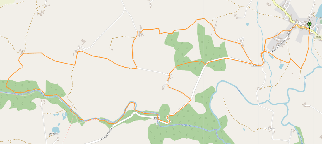
The Stepping Stones
SUMMARY
Length of walk: 15km/3 1/3 hours,
Terrain: Easy tracks with a few short steep sections over rougher ground. Involves crossing river over stepping stones.
NOT for young children or infirm. Not recommended after heavy rain.
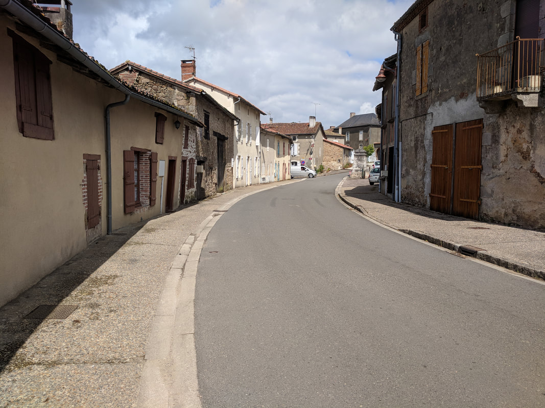
Parking: BRILLAC, next to Church or opposite Marie.
Dogs: May require a lead for 3 km road walking.
Refreshments: Close to start point cafe/convenience store, 11 Place des Anciens Fossés.
Consider taking a picnic to eat near the stepping stones near the half way point.
Length of walk: 15km/3 1/3 hours,
Terrain: Easy tracks with a few short steep sections over rougher ground. Involves crossing river over stepping stones.
NOT for young children or infirm. Not recommended after heavy rain.
Parking: BRILLAC, next to Church or opposite Marie.
Dogs: May require a lead for 3 km road walking.
Refreshments: Close to start point cafe/convenience store, 11 Place des Anciens Fossés.
Consider taking a picnic to eat near the stepping stones near the half way point.
IN THE DIRECTION OF ESSE
Start at the Marie, walk towards the church and at the Place de L’Eglise (with cobble stones) turn left before you reach the church itself. Walk 100m and take the left hand lane, Rue Ferrard signed for Esse. (You can take a look at the information plaque and monument on the right).
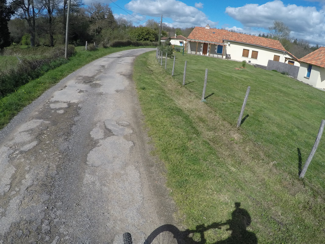
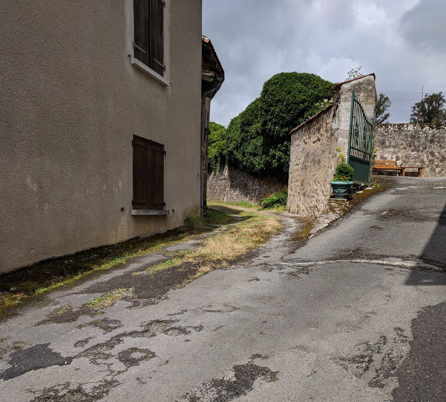
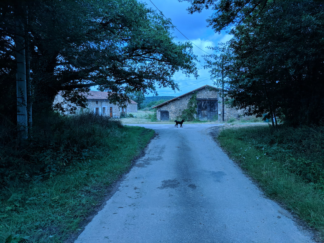
Walk 200m. Just after the house with “pyramid steps” there is a lane that quickly becomes a track running parallel to the road to Esse. After 500m the track rejoins the road to Esse. Follow the road for a few hundred metres ignore the left hand road. About 200m after the road bends to the right take the right hand lane signed Bois d’Arment. At the farm follow the left hand bend ignoring the right hand turn in 50m follow the lane for about 1km where you will reach cottages on your right. As the lane becomes a track take the left hand turn.
Start at the Marie, walk towards the church and at the Place de L’Eglise (with cobble stones) turn left before you reach the church itself. Walk 100m and take the left hand lane, Rue Ferrard signed for Esse. (You can take a look at the information plaque and monument on the right).
Walk 200m. Just after the house with “pyramid steps” there is a lane that quickly becomes a track running parallel to the road to Esse. After 500m the track rejoins the road to Esse. Follow the road for a few hundred metres ignore the left hand road. About 200m after the road bends to the right take the right hand lane signed Bois d’Arment. At the farm follow the left hand bend ignoring the right hand turn in 50m follow the lane for about 1km where you will reach cottages on your right. As the lane becomes a track take the left hand turn.
THE TRACK TO LAFFY
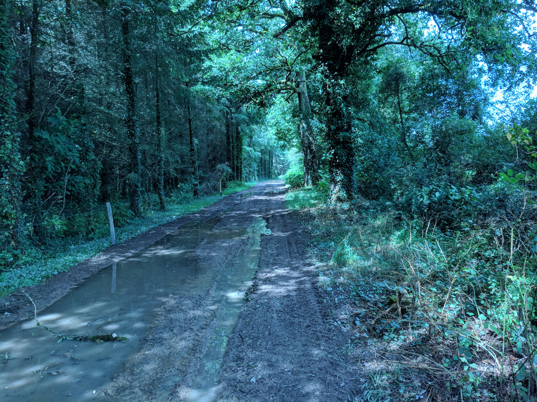
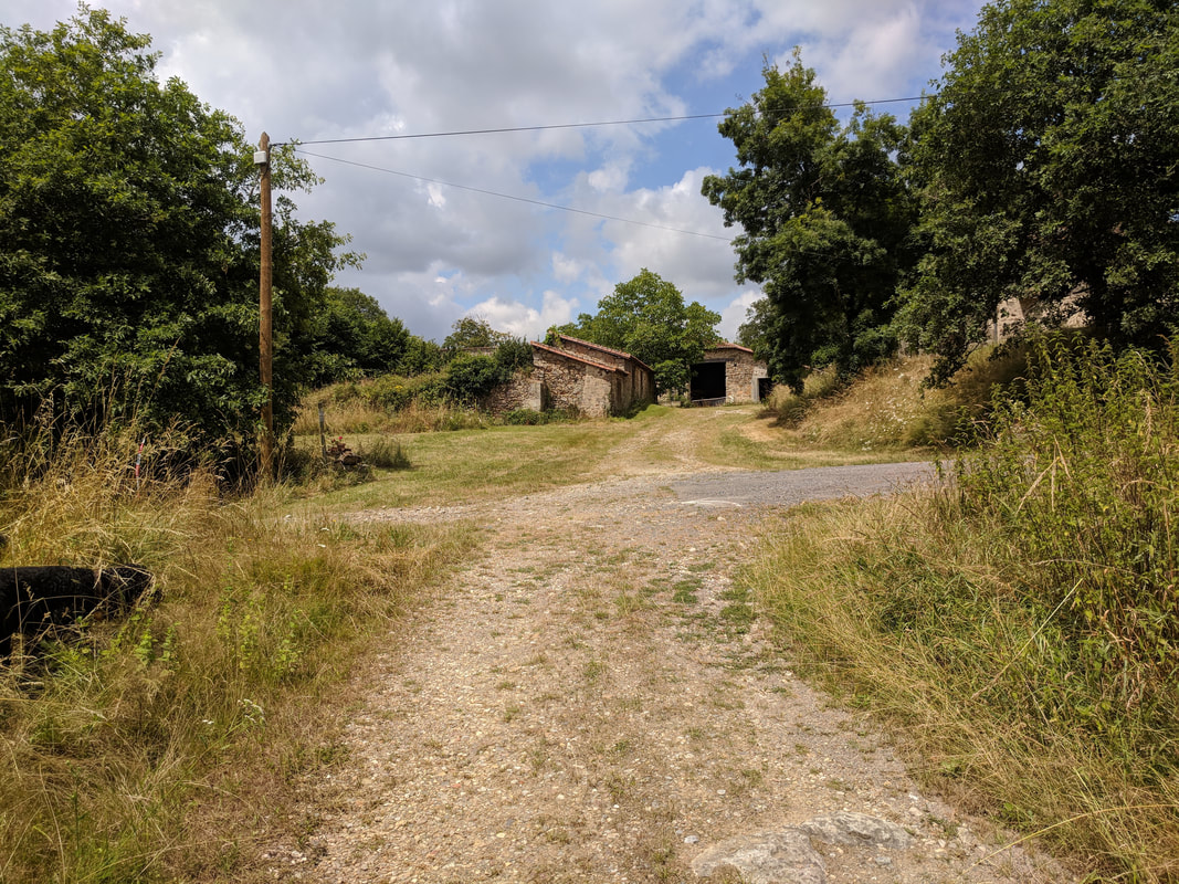
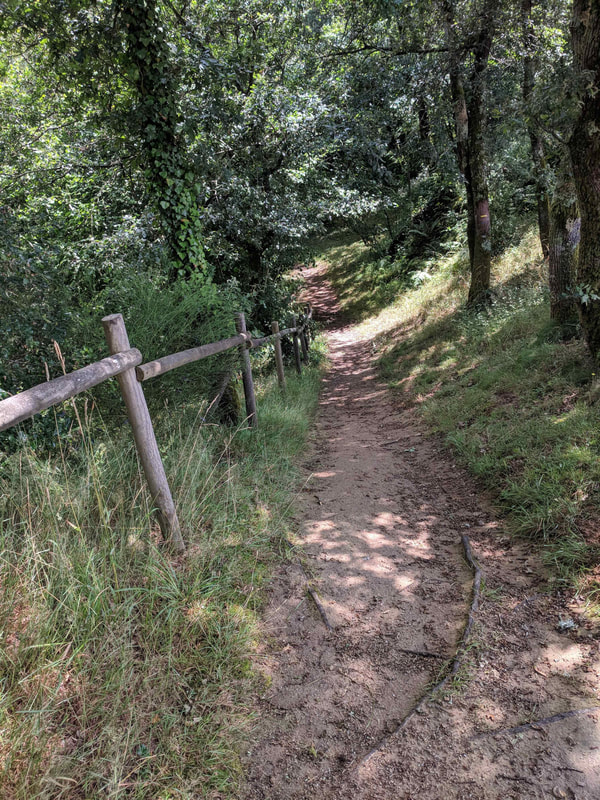
The track descends to cross a stream after about 800m and climbs again to some farm buildings. Follow the main track as it bends to the left and reaches a lane and farm houses at Laffy. Turn right up the incline and then left onto a lane that runs past the farms now on your left.
The lane becomes a track, follow it past the sign for “Les Joumelles”. After 300m the track bears left, instead take the track on the right lined on both sides with fir trees.


TO MONTOUX AND THE RIVER
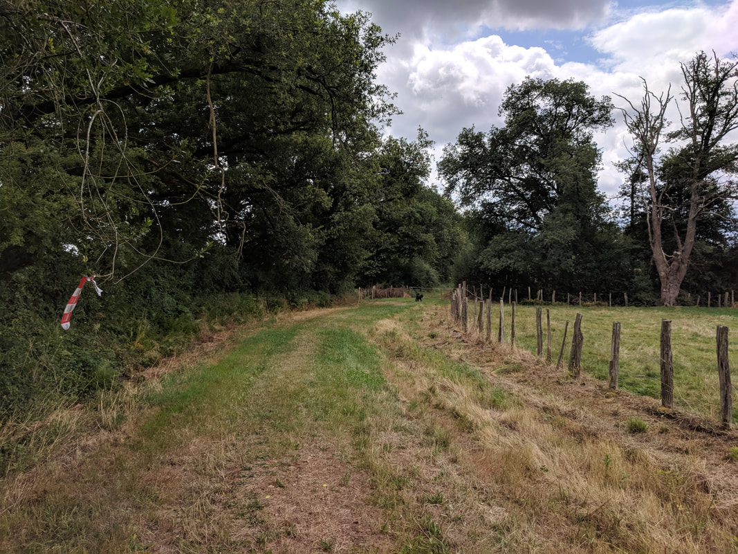
After 1km the track meets a lane at Montoux. Turn left and follow this lane as it becomes a track. After 200m take the first right hand track. Follow this track for 1km until you reach a gite and outbuildings at a crossroads in the track. Turn left and follow the track as it turns left then right around a field. Follow the track between fields. Follow it for 500m when it will bear left alongside the river, L’ Issoire.
After 1km the track meets a lane at Montoux. Turn left and follow this lane as it becomes a track. After 200m take the first right hand track. Follow this track for 1km until you reach a gite and outbuildings at a crossroads in the track. Turn left and follow the track as it turns left then right around a field. Follow the track between fields. Follow it for 500m when it will bear left alongside the river, L’ Issoire.
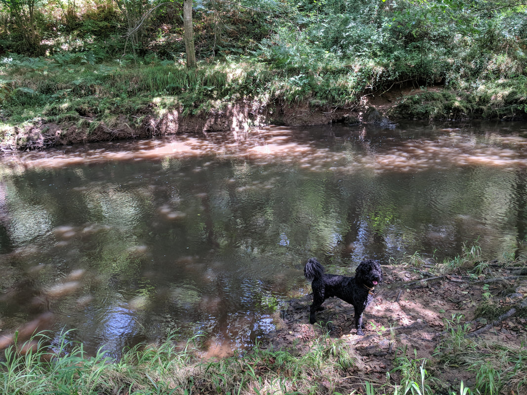
THE STEPPING STONES
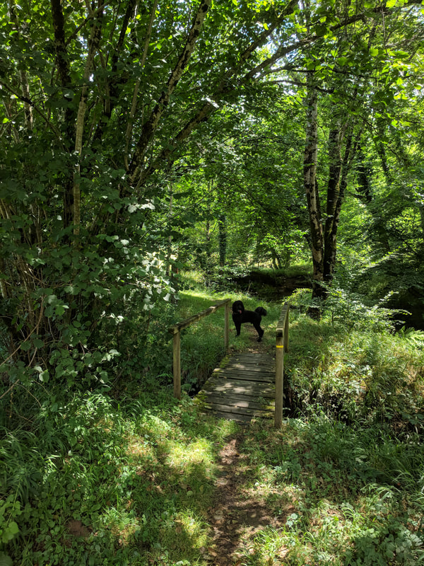
After 100m you will pass a footbridge across the river, do take a look from the bridge but do not cross here. Continue along the path, with the river on your right. You will quickly cross a stream using a tiny wood bridge and after 200m come to the farmer’s bridge and beneath it the stepping stones. The main bridge is private and often gated to prevent unauthorised vehicles. As long as the river has not been fed by too much rain use the stepping stones to cross the river. Take care!
After 100m you will pass a footbridge across the river, do take a look from the bridge but do not cross here. Continue along the path, with the river on your right. You will quickly cross a stream using a tiny wood bridge and after 200m come to the farmer’s bridge and beneath it the stepping stones. The main bridge is private and often gated to prevent unauthorised vehicles. As long as the river has not been fed by too much rain use the stepping stones to cross the river. Take care!

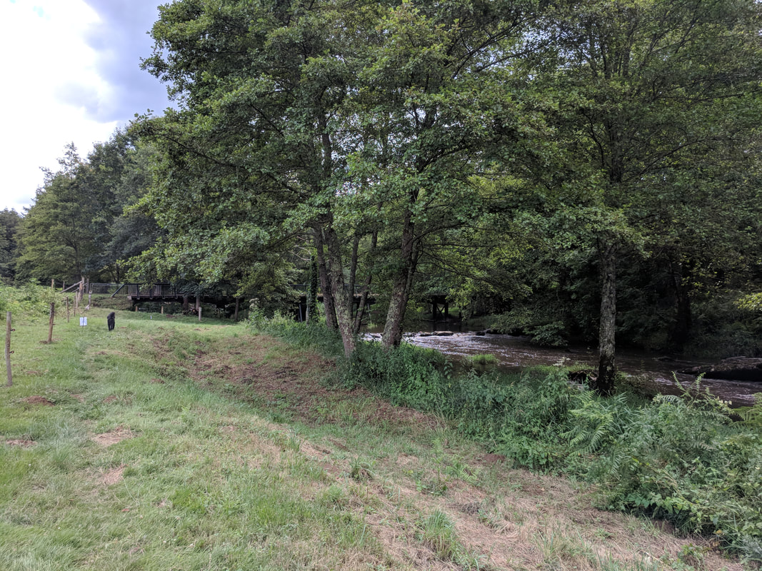
After crossing the river turn left and follow the track running close to the river’s edge. There is a little fall in the river and a “beach”. This is a great place for a picnic.
VILLAGE GAULLOIS
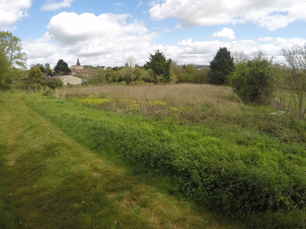
Follow the track running parallel to the river for 2km, you will come to an open area of grassland. Keep the river to your left. The trail rises above the river and then takes a left bend down a steep section of track with a handrail. Continue alongside the river for 1 km. The track follows the river bending to the right and rising to reach the road at Pont Binot, a 12th century bridge.
This is also the site of a fascinating tourist attraction of a village Gaulois. In the holiday season there are tours and events at this village constructed in the Gaul style using the same techniques used more than 2000 years ago.
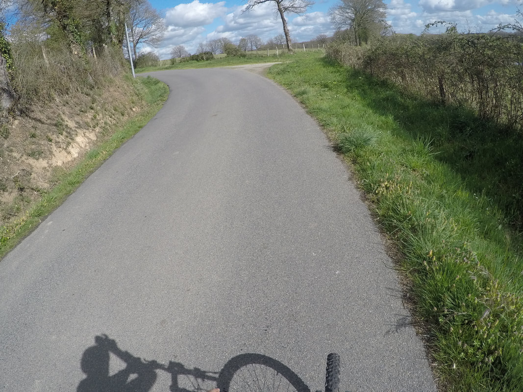
Turn left crossing the bridge, on the D80 and climb the hill through a series of s bends. After another 500m take the left hand road to Villatte.
Follow the track running parallel to the river for 2km, you will come to an open area of grassland. Keep the river to your left. The trail rises above the river and then takes a left bend down a steep section of track with a handrail. Continue alongside the river for 1 km. The track follows the river bending to the right and rising to reach the road at Pont Binot, a 12th century bridge.
This is also the site of a fascinating tourist attraction of a village Gaulois. In the holiday season there are tours and events at this village constructed in the Gaul style using the same techniques used more than 2000 years ago.
Turn left crossing the bridge, on the D80 and climb the hill through a series of s bends. After another 500m take the left hand road to Villatte.
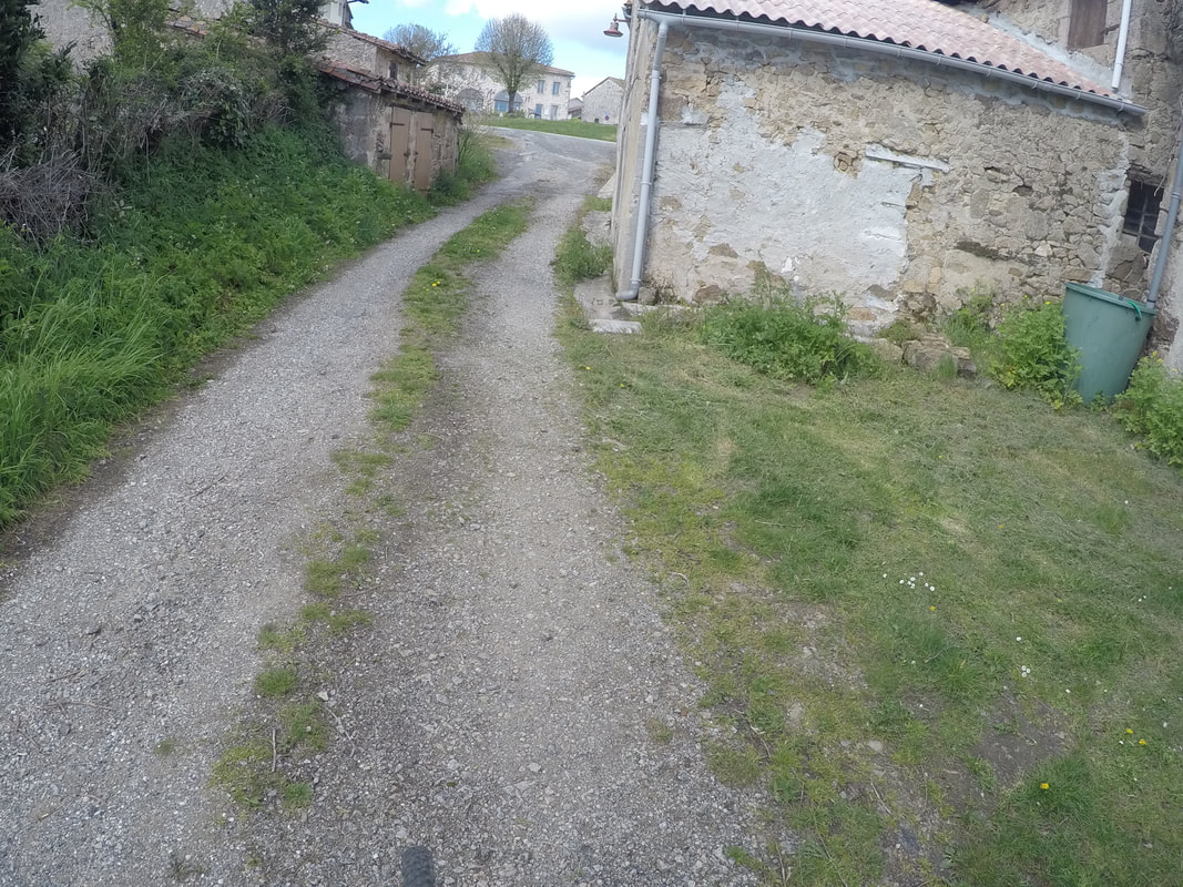
Go up the gentle hill and follow the lane as it bends right and passes between houses. Ignore the first track on the right and take the second right with a trail marker post. Follow this trail for 1 km until it rejoins the D80. Turn left and continue on the D80 for 1.5 km you will pass a lane on your left and one to your right before crossing a stream. On a bend just before entering the village take the track to your right. You will pass two small ponds After 200 m at the T junction turn left and in 25 m turn right. In 100 m the track bends left and climbs the hill to take you into the village just opposite the Marie.